
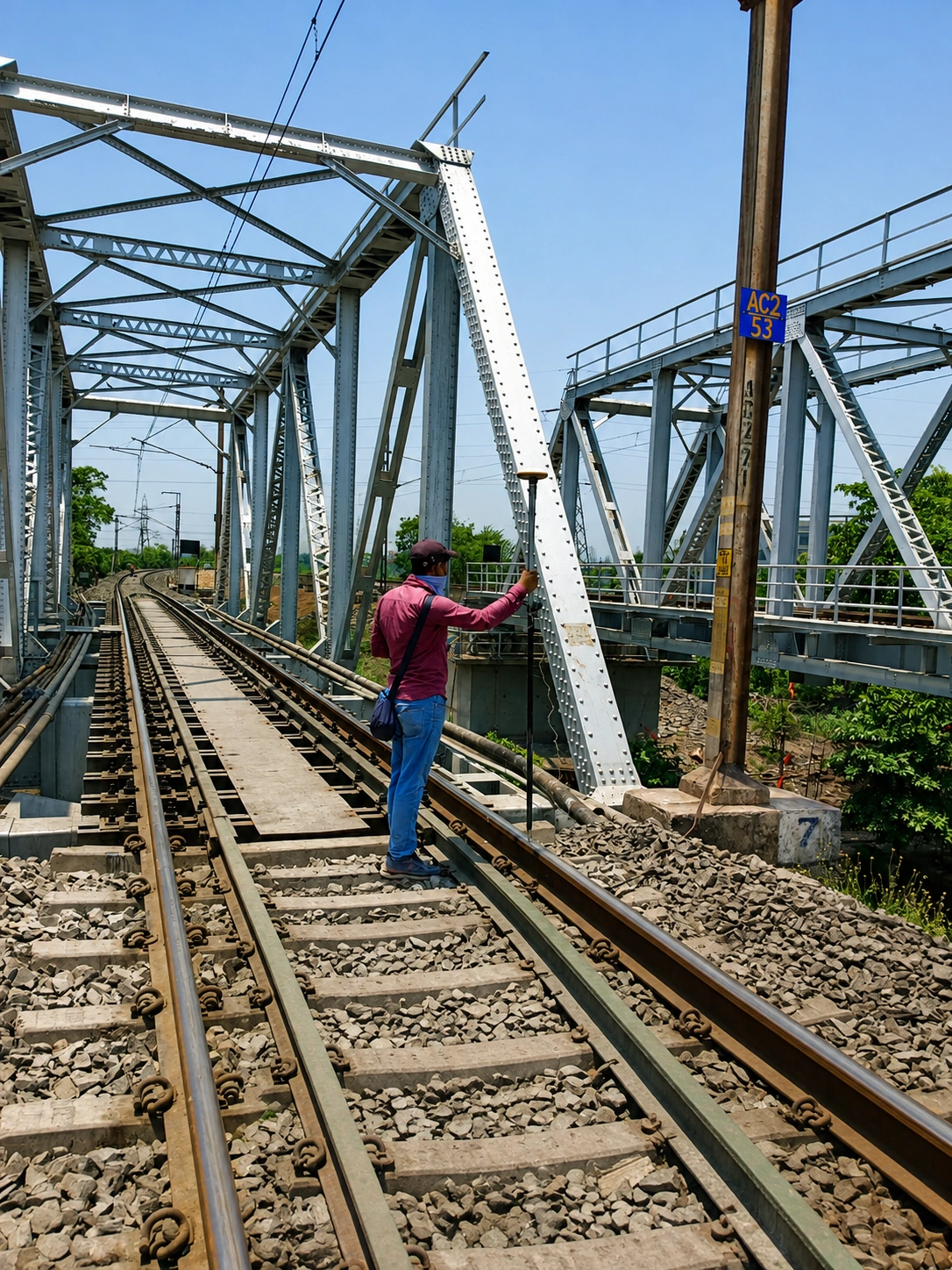
Topographical Surveying for Confident Engineering Decisions.
Accurate terrain data is the foundation of structural and civil engineering. We capture, process, and deliver precise topographical information to support infrastructure planning and route alignment.
The Foundation of Executable Design.
A topographical survey is not merely a collection of measurements; it is the critical baseline for any civil infrastructure project. Before design can begin, engineers require an exact, verified understanding of the existing terrain, structures, and utilities.
ECAC’s topographical survey teams map the three-dimensional geometry of your site. We identify natural features like ground elevations and water bodies, alongside man-made infrastructure including existing roads, boundaries, and drainage networks.
By integrating advanced DGPS positioning with Total Station precision, we ensure that the data handed over to your design team accurately reflects real-world site conditions, mitigating risk and preventing downstream engineering conflicts.
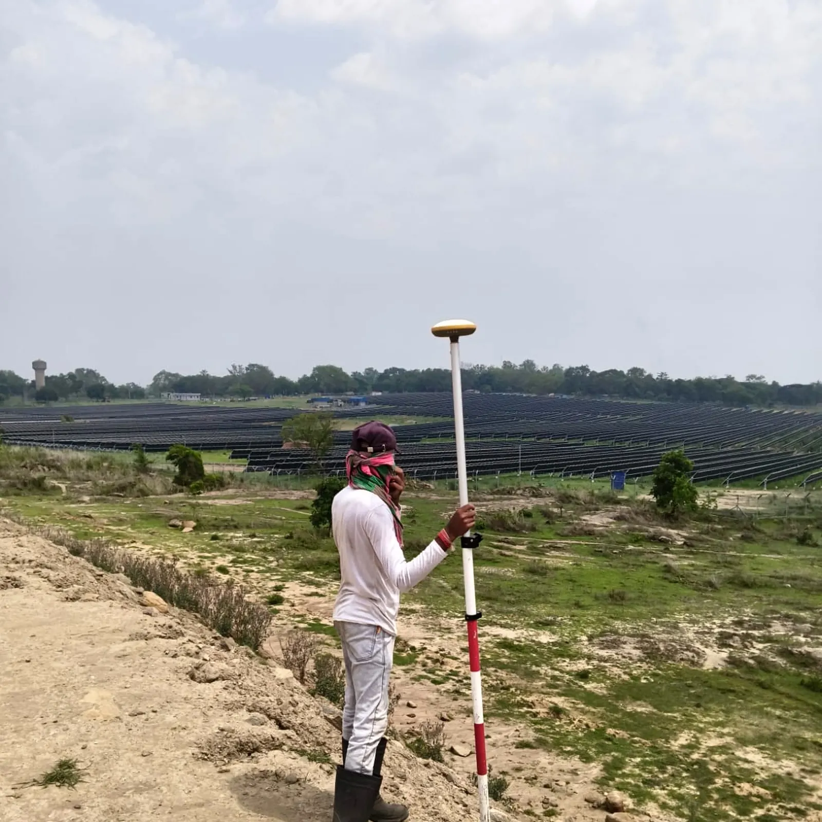
Our Survey Approach
A structured workflow ensuring data integrity from field observation to final CAD delivery.
Reconnaissance & Planning
Initial site evaluation to establish control points, assess terrain accessibility, and define the survey methodology.
Field Data Capture
Systematic collection of coordinates and elevations using Total Stations and DGPS rovers deployed by our field engineers.
Data Processing
Raw field data is downloaded, verified for accuracy, and imported into engineering software to generate digital terrain models.
Engineering Deliverables
Finalization of CAD drawings, contour plans, and cross-sections formatted specifically for downstream design engineering.
Technology Behind the Precision
ECAC utilizes verified, industry-standard surveying hardware to ensure accuracy across varied terrains and infrastructure environments.
Total Stations
Optical and electronic distance measurement for capturing highly detailed local terrain features, structures, and dense boundary lines.
DGPS & GNSS
Satellite-based positioning for establishing primary site control networks and rapid data collection across large-scale infrastructure corridors.
Digital Auto Levels
Utilized for high-precision elevation transfers and longitudinal profiling where vertical accuracy is paramount for drainage and road works.
Site Features Captured
A comprehensive topographical survey meticulously records the spatial relationship of all critical site elements.
Engineering Deliverables
We deliver survey data in formats optimized for immediate use by CAD technicians and design engineers.
-
CAD
AutoCAD Survey Drawings
Fully layered 2D/3D digital files.
-
SEC
Cross & Longitudinal Sections
Plotted profiles for linear infrastructure.
-
CON
Contour & Grid Plans
Topographic mapping displaying elevation changes.
-
VOL
Volume Calculation Reports
Cut/fill estimations derived from surface models.
Engineering Applications
Our topographical survey services are deployed across a diverse range of critical infrastructure sectors.
Roads & Highways
Providing foundational alignment, widening feasibility, and cross-sectional data for highway DPRs.
Railways & Corridors
Executing detailed route surveys and yard feasibility studies for new and existing rail infrastructure.
Canal & Drainage
Capturing bank-to-bank profiles and longitudinal sections for irrigation networks and sewerage planning.
Site Development
Establishing boundaries and existing topographical features for large-scale building and construction design.
Selected Topographical Projects
Demonstrated field experience executing topographical surveys across complex regional terrains.
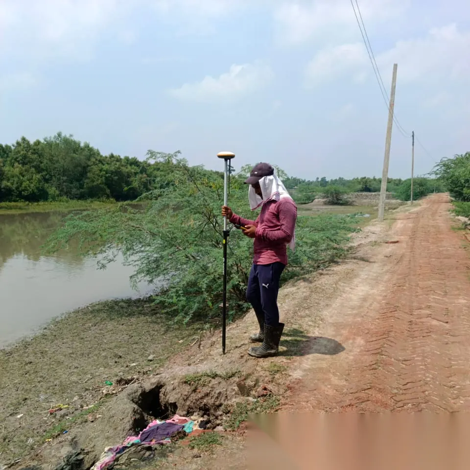
Bali River Survey
Cross-sectional profile and detailed topographical survey of River Bali located in the Sandeshkhali-II block, North 24 Parganas.
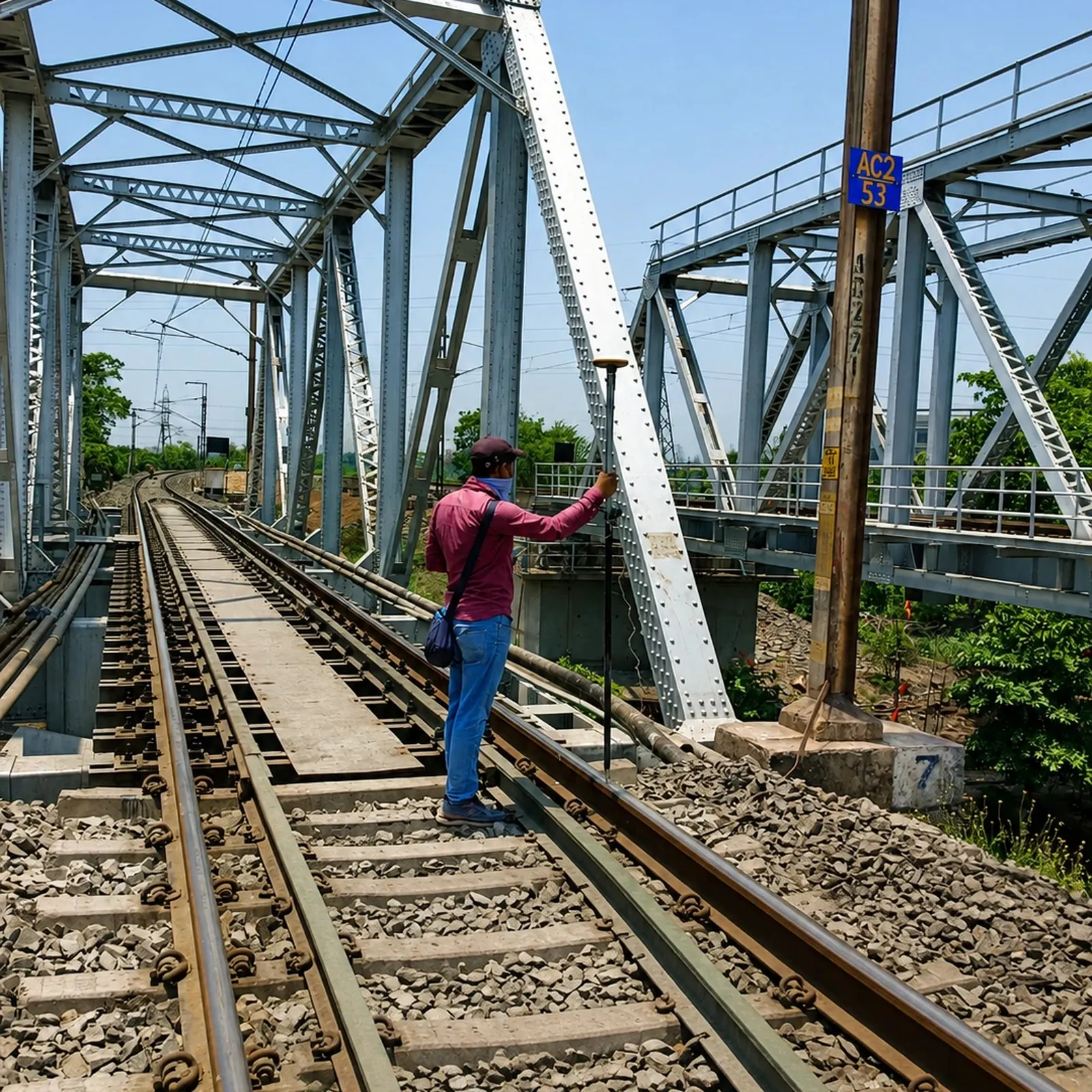
Howrah Drainage Channel Survey
Cross-sectional profile and topography survey covering multiple branches including Swarnamoyee Khal and Balitikuri Khal.
Need Accurate Topographical Data?
Connect with our engineering team to discuss your project parameters, timeline, and specific deliverable requirements.