

-We
Conduct
Hydrographic
Survey
We conduct various kind of topographical survey across India.
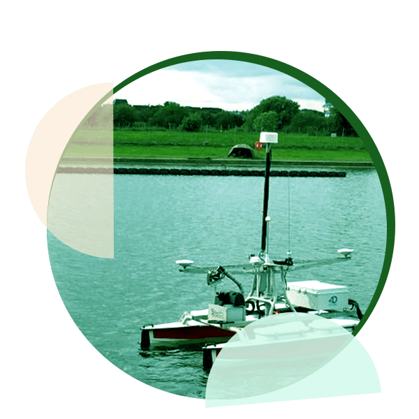
Bathymetry
Accurate bathymetry is essential for navigation and ocean science
-Our Projects
 
Details
About
ECAC
Powered by Earth Constratruction and consultancy
-Htdrographic Survey-
Earth construction provides various engineering jobs like Engineering Survey,Building Plan, Topographical Survey,Hydrographical Survey,Route survey with the use of state-of-the equipment like DGPS, Hand GPS,Total Station & Digital Levels, Waste Water And Drainage Design.
Feature of our
Hydrographic Survey
Depth Mapping
1. Accurate depth measurements.
2. Precise underwater mapping.
Seabed Classification
1. Identifying bottom composition
2. categorizing seabed features.
Safety Assessment
1. Navigational safety evaluation.
2. Ensuring secure marine routes.
Environmental Monitoring
1.Tracking ecosystem changes.
2.Assessing marine habitat health.
Bathymetric Data
1. Collecting underwater topography.
2. Mapping ocean floor contours.
Resource Assessment
1. Accurate depth measurements
2. precise underwater mapping