
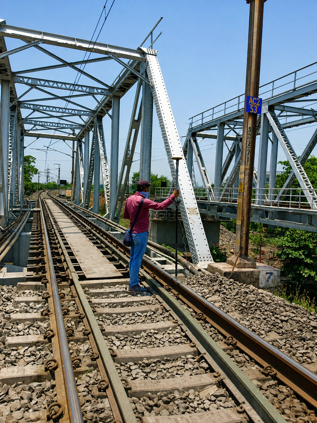
Surveying Technology Built for Accurate Engineering.
Advanced surveying instruments, positioning field technology, and engineering software that support precise data collection, processing, and seamless project delivery.
ECAC maintains comprehensive in-house facilities supporting civil engineering execution, encompassing hardware, software, surveying equipment, and logistical support.
We continuously track technological advancements in surveying, sub-soil exploration, and material testing, rigorously upgrading our facilities and training our personnel to meet modern infrastructural demands.
Core Technological Capabilities
Our equipment ecosystem is structured across four primary disciplines to ensure end-to-end data integrity.

Precision Surveying
High-accuracy optical measurements utilizing automated Total Stations and Auto Levels.
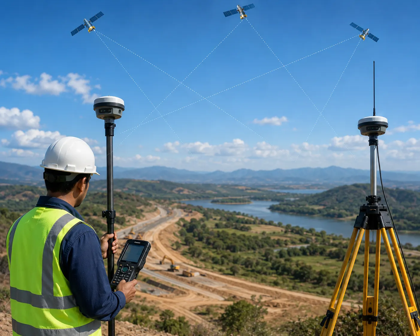
GNSS & Positioning
Satellite-based coordinate acquisition utilizing multi-frequency DGPS rovers and base stations.
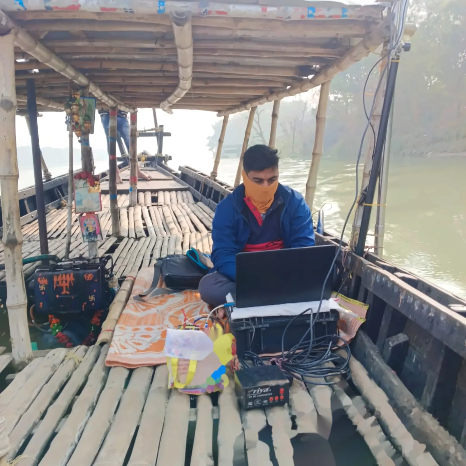
Hydrographic Survey
Bathymetric data capture via ADCP, dual-frequency echo sounders, and sonar systems.
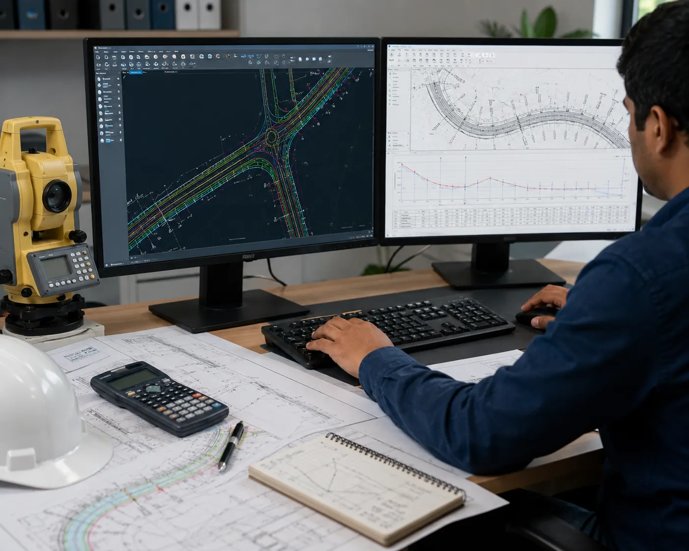
Engineering Processing
Translation of raw field metrics into executable CAD drawings and calculation reports.
From Field to Engineering Deliverable.
Our technical deliverables are not merely static drawings; they are the direct outputs of a rigorous, technology-driven surveying and engineering workflow.
Field Data
Processing
Final Deliverable
Topographical Survey Drawing
Detailed surface feature mapping.
Road Survey Drawing
Highway alignment and corridor charting.
Hydrographic Survey Drawing
Bathymetric and underwater topography.
Railway Survey Drawing
Track layout and structural feasibility.
Pipeline Survey Drawing
Utility alignment engineering layouts.
Cross Section & Long Section
Elevation profiles for infrastructure.
Contour & Grid Drawing
Precise terrain elevation mapping.
Volume Calculation Reports
Cut/fill estimations for road and land.
In-House Field Equipment
High-precision hardware utilized by our engineering teams for terrestrial and hydrographic data collection.
Precision Surveying
-
•
SOKKIA Total Stations
CX Series (CX65/PS, CX105, CX107) -
•
SOKKIA Auto Levels
Optical leveling instruments
GNSS & Positioning
-
•
TRIMBLE DGPS SP85
Multi-Frequency GNSS (USA) -
•
E-SURVEY DGPS
E600 and E300 models
Hydrographic Survey
-
•
TELEDYNE ADCP / E20 DC
Hydrological Survey & Dual Frequency -
•
DIGITAL SONAR H22PX
Handheld Sonar System -
•
SOKKIA SONAR MITE
Echo Sounding (Bathymetry)
Complete Equipment Inventory
| # | Equipment Description | Manufacturer | Quantity |
|---|---|---|---|
| 1 | Total Station Set CX65/PS | SOKKIA | 1 |
| 2 | Total Station Set CX65/S-C | SOKKIA | 1 |
| 3 | Total Station Set CX65/T-E | SOKKIA | 1 |
| 4 | Total Station Set CX105 C/S | SOKKIA | 1 |
| 5 | Total Station Set CX105/SSG | SOKKIA | 1 |
| 6 | Total Station Set CX105 | SOKKIA | 1 |
| 7 | Total Station Set CX107/SSG | SOKKIA | 1 |
| 8 | DGPS SP85 Multi-Frequency GNSS (USA) | TRIMBLE | 1 |
| 9 | DGPS E600 AND E300 | E SURVEY | 1 |
| 10 | H22PX Handheld Sonar System | DIGITAL SONAR | 1 |
| 11 | ADCP (Hydrological Survey) | TELEDYNE | 1 |
| 12 | E20 DC Dual Frequency (Hydrological Survey) | TELEDYNE | 1 |
| 13 | SONAR MITE Echo Sounding (Bathymetry) | SOKKIA | 1 |
| 14 | Auto Level | SOKKIA | 2 |
Engineering Software & Data Processing
Our in-house design and processing capabilities utilize industry-standard software to transform raw field coordinates into accurate structural models and hydrological insights.
Have a Surveying or Engineering Requirement?
Talk to our team about your surveying, mapping, hydrographic, or engineering consultancy requirements.